Evento
Seminario sobre los procesos glaciológicos en America Latina y el Caribe - Día Internacional de la Geodiversidad
Esta organizado por el Grupo de Trabajo de Nieves y Hielos del Programa Hidrológico Intergubernamental para America Latina y el Caribe (PHI-LAC), junto a la Sociedad Geológica Mexicana (SGM).

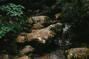
Geodiversity is defined as the diversity of non-living elements of nature, both above and below ground, including minerals, rocks, fossils, soils, sediments, landforms, topography, geological and morphogenetic processes, and hydrological features, such as rivers and lakes.
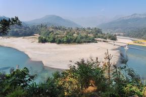
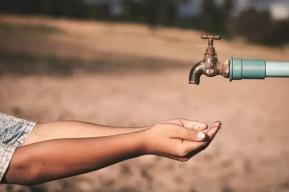
The relationship between geological features and water resources is particularly important in areas of glaciers, frozen soils and snow-capped peaks. Geodiversity provides us with evidence of past climatic and landscape changes and their causes, and thus helps us to understand and plan for the consequences of future environmental changes. Scientific knowledge about geological and geomorphological processes would make it possible to reduce disasters due to water-related natural phenomena and to sustainably manage soils and water resources. Glacial retreat is one of the phenomena that indicate the fragility of the environment and the times we live in.
Programme

Working Group on Snow and Ice
Within UNESCO, the Intergovernmental Hydrological Programme (IHP) is the only United Nations intergovernmental programme dedicated to research, education and capacity building in hydrology. In the Latin America and Caribbean region, the programme has a working group specifically dedicated to the topic of snow and ice (WGNH), which brings together specialists in glaciology and nivology and whose objective is to strengthen scientific knowledge on the processes associated with these elements and their socio-economic and environmental interactions in the region.
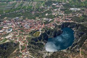
Kütralkura UNESCO Global Geopark
Geoparks are unique and unified geographic areas in which sites and landscapes of international geological significance are managed with a holistic concept of protection, education and sustainable development. The Kütralkura UNESCO Global Geopark - which means "Stone of Fire" in the language of the Mapuche - is characterized by one of the most active volcanisms in the world. Located about 700 km south of Santiago, this geopark extends east to the border with Argentina. Most of the emblematic summits of the site are active volcanoes, such as Llaima, Lonquimay, Tolhuaca and Nevados de Sollipulli, together with the now extinct Sierra Nevada. Over the last 20,000 years, the thick snowfields that once covered a large part of the site's territory have shrunk considerably.
emphasizes the essential role that geoscientific knowledge plays in achieving the 2030 Agenda for Sustainable Development, the Paris Agreement on climate change and the Sendai Framework for Disaster Risk Reduction